PROJECT SUMMARY
This study is a collaborative effort by the Saskatchewan Assessment Management Agency
(SAMA), Information Systems Management (ISM) Canada, and the University of Regina (funded by MITACS).
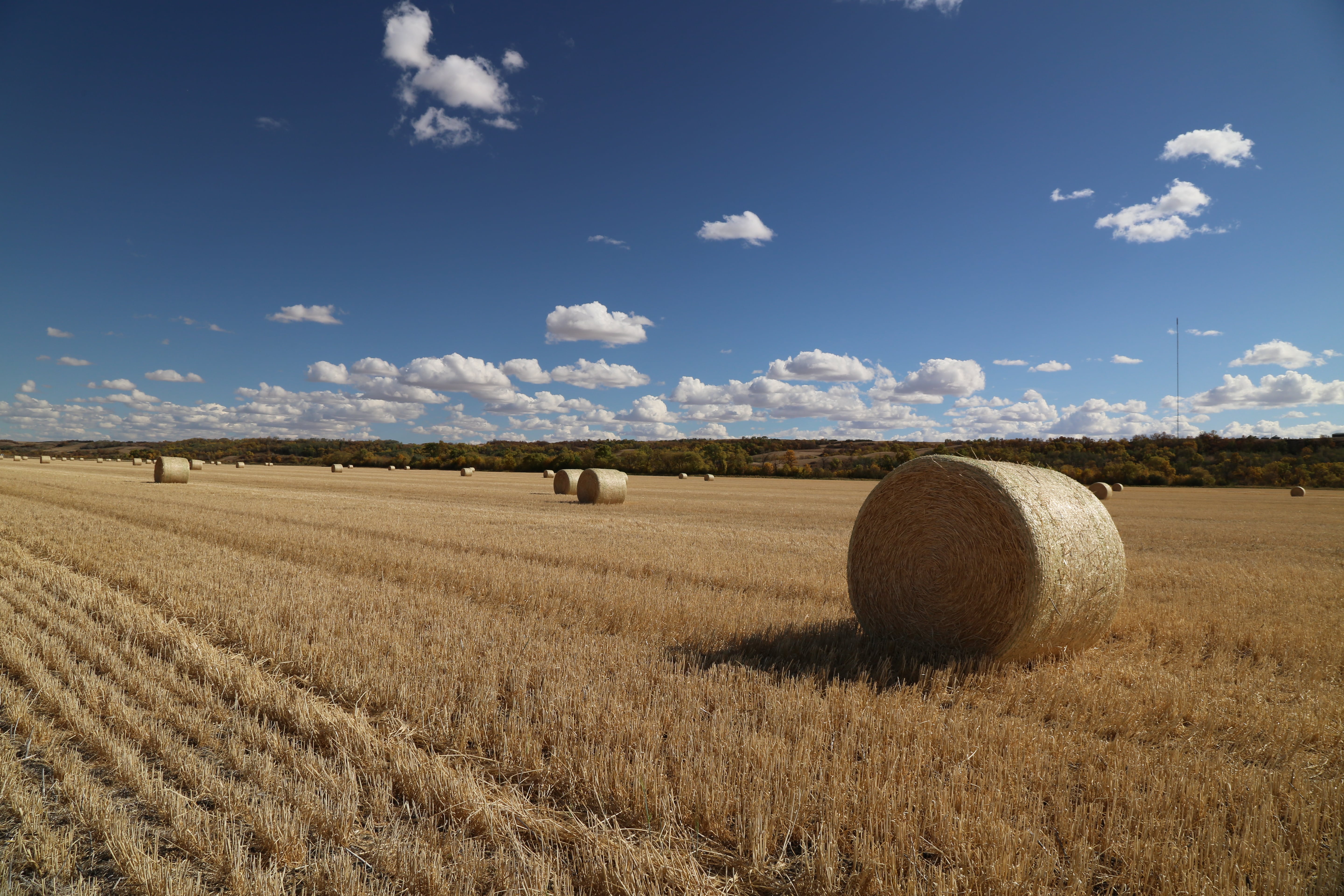
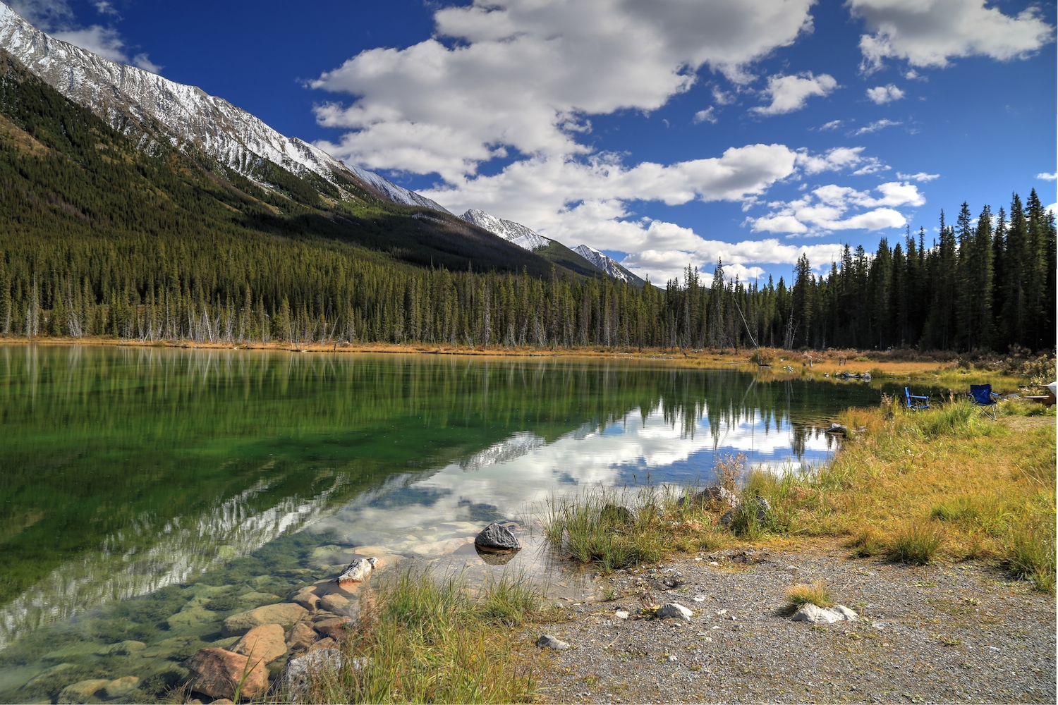
SAMA is responsible for property assessment of agricultural land for tax base purposes. SAMA maintains and periodically updates an arable land assessment model and manual. This study will aid in an improved method of rural land assessment through an updated understanding of the climate and geography of Saskatchewan’s agricultural region, and its relation to various crop yields, land assessment, and environmental factors. The overall objective of the project is to re-evaluate the climate factor in the arable land productivity model used for property assessment within Saskatchewan by SAMA.
This re-evaluation of the climate factor is needed given significant changes over the past several decades in crop diversity and production, the climate of the Prairie Provinces, GIS technology, and digital data. The project will address this objective with the processing, analysis and interpretation of a substantial amount of georeferenced data for Saskatchewan’s agricultural region, which represents about 40% of Canada’s cropland. On a base layer of townships and rural municipalities, we will superimpose land use, crop yield data, historical weather station and interpolated observations, digital elevation data, and climate change projections from Regional Climate Models (RCMs). Using methods of spatial regression, we will create statistical models relating the average annual yield of various crops to monthly and seasonal weather and climate data for 296 Rural Municipalities (RMs) throughout the six soil zones comprising the arable agricultural zone of Saskatchewan. These models will reveal the extent to which crop yield varies with climate across Saskatchewan, and identify the controlling weather and climate variables for predicting wheat yield. Final project deliverables will include a GIS model that can be updated and applied for agricultural land assessment, as well as maps of the new climate ratings by Rural Municipality (RM) and soil zone. This research will thus document trends in climate and crop yields over the past 35-50 years and explore the effects of extreme weather and future climate changes on agricultural productivity in Saskatchewan.
PROJECT SUMMARY
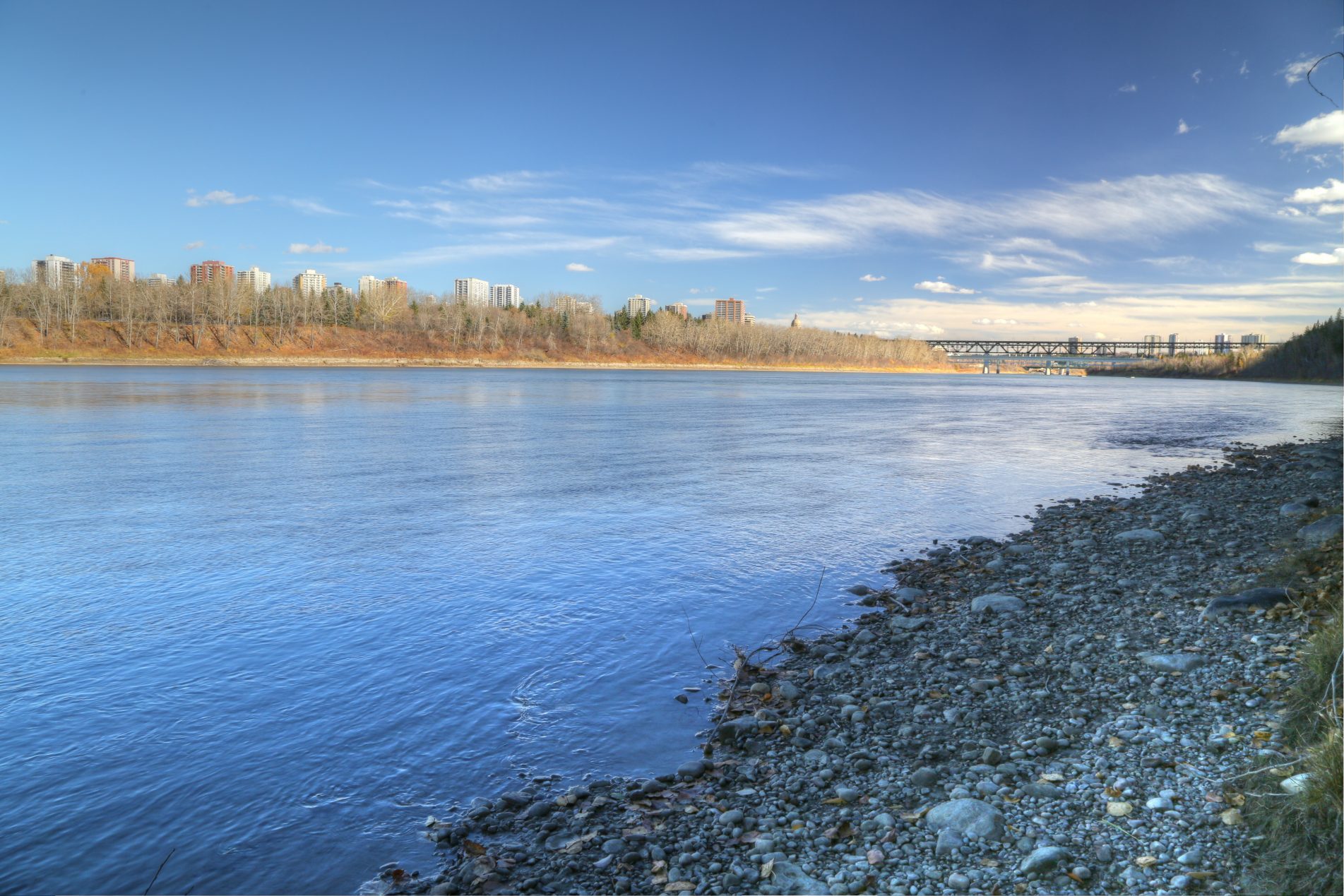
This project is an assessment of existing information and data relating to the impact of climate change on water security (the balance between future supply and demand) in the Edmonton Metropolitan Region (EMR). This meta-analysis of existing knowledge will support decision making to enhance the resilience of municipalities in the EMR to the impacts of climate change. The Climate Resilience Exchange project, led by the All One Sky Foundation, is supporting eight partner municipalities in the EMR to define, select and implement coordinated actions to reduce regional vulnerability to climate-related impacts. Until fairly recently, climate was regarded as unchanging for practical purposes. Now planners, policy analysts and engineers are expected to consider the reality of climate change and add it to a long list of decision-making criteria. The meta-analysis of existing knowledge and information includes a review and synthesis of:
- The historical flow of the North Saskatchewan River (NSR) recorded at a series of gauges along the main stem of the river and its major tributaries;
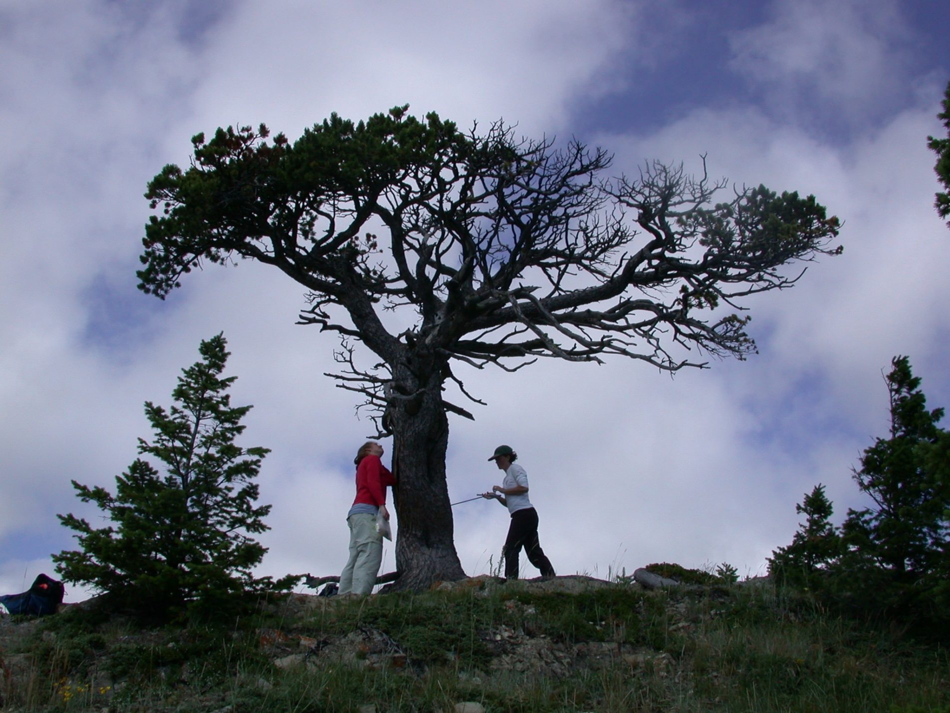
- The paleoclimate record and paleohydrology of the North Saskatchewan River Basin (NSRB): the climate of past centuries and the reconstruction of NSR flows from tree-rings;
- The future climate of the NSRB and the potential impacts of projected climate changes on the NSR, including the volume and timing of flows, water temperature, and water quality as it pertains to water supplies for consumption and ecosystem maintenance;
- Historical water use (consumption and losses) in the EMR, by sector:municipal and residential, agriculture, commercial and industrial;
- Projected water use (consumption and losses) by sector, accounting for the impacts of future climate change, and future growth in the EMR
PROJECT SUMMARY
The objective of this project was to identify and understand the range of climate services training currently offered (or previously offered) in Canada and any gaps. We contacted federal, provincial and territorial government agencies; regional climate consortia; NGOs; and professional organizations. An online survey completed by these training providers collected information on the products and programs that they offer. In addition, we identified climate services training offered outside Canada and opportunities to learn from these international training programs. A major project report summarized the results of the online surveys and documented the current state of climate services training available in Canada. The results of this scan will be used by the Canadian Centres for Climate Services (CCCS) to develop climate services training based upon best practices that meets users’ needs and fills gaps in existing training.
PROJECT SUMMARY
The purpose of this project was to provide Limnos Environmental Consulting with a detailed description of local climate changes for their climate monitoring work with the Metis Association of Saskatchewan. We provided information on climate change from three sources: a) a paleo-perspective using tree-ring reconstructions of past climate variability and water levels, b) the instrumental records of temperature and precipitation, and c) climate scenarios for the next few decades using data from climate models.
PROJECT SUMMARY
This project was a collaboration with scientists at the University of Alberta. Climate change will alter the spatial and temporal distribution of water supplies in Alberta. Understanding the dynamics of water flows and allocations is needed to enable timely policy decisions and better target investments in efficient water infrastructures and management facilities. This project sought to convey to stakeholders the risks and opportunities as a result of changes in future local water availabilities. Physically based modeling, using the SWAT model, enabled numerical simulation of the dynamics of basin hydrology and the response of hydrological processes to projected shifts in temperature and precipitation. Another approach taken at PARC was to examine the hydrology simulated by the Land Surface Schemes embedded in Regional Climate Models (RCM). This approach has the advantage of the coupled modeling of climate and hydrology thus capturing the hydrological response to transient changes in climatic variability; although the LSS is much less complex than the SWAT hydrological model. The use of complimentary approaches represents a robust solution to the problem of projecting future river flows. We were able to evaluate of the uncertainties associated with using different climate models and various formulations of the SWAT hydrological model.
PROJECT SUMMARY
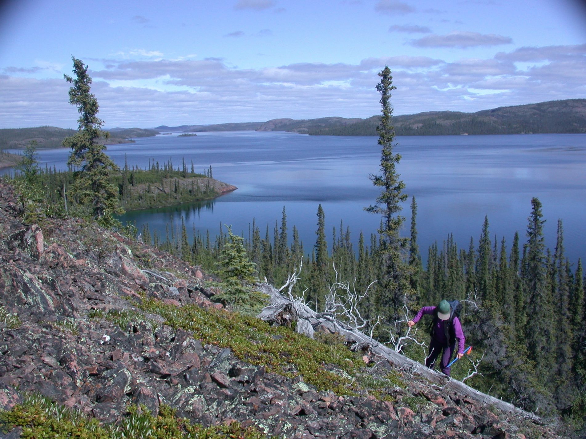
This project was a collaboration with scientists at the University of Lethbridge. The project evaluated historical, contemporary and possible future land cover and climatic changes within the Castle Watershed headwaters of the Oldman River Basin (ORB), and quantified the impacts of these changes to river runoff and water supply. Synergistic field, remote sensing and modeling studies were conducted to understand terrain and land cover properties in this Rocky Mountain watershed and how they influence hydrology at a scale suitable for operational water resource planning. Researchers at PARC provided high-resolution Regional Climate Model projections to drive the ACRU physical hydrological model and parameterize it for simulations of future trends in ORB water supply. A complimentary goal was to provide baseline data on past and present hydro-ecological conditions within the Castle Watershed. Towards this goal, PARC scientists reconstructed the annual flow of the Castle River from 1150 to 2015.
PROJECT SUMMARY
The scientific objectives of this project were to develop scenarios of projected changes in the hydroclimate of the Athabasca River Basin (ARB) using innovative methods that incorporate the forcing and modes of variability in the regional hydroclimate and are applicable to adaption planning in the basin. The project provided our industrial partner, WaterSMART Solutions Ltd., with improved capabilities to deliver practical adaptive strategies for water management under climate change. The most innovative aspects of the proposed project were the novel methods of downscaling and processing of climate model outputs, such that we constructed scenarios of future climate that incorporated the internal natural variability; the most significant impact of a changing climate is a shift in water resources among seasons and years. Inter-annual variability and extreme hydrologic events, rather than long-term trends in mean runoff, present most of the challenge for managing watersheds and for designing and maintaining water conveyance and storage structures. We evaluated the capacity of high-resolution Regional Climate Models (RCMs) to simulate the full range of regional hydroclimate variability. Downscaled and bias-corrected climate data were applied to hydrological and land use models to develop future scenarios for the ARB.
PROJECT SUMMARY
The scientific problem addressed by this project was the reliability and security of water supplies derived from the North Saskatchewan River (NSR). The industrial partner, Husky Energy, has heavy oil assets in the Lloydminster region of Saskatchewan and Alberta. These thermal projects rely on the NSR as a source of freshwater for steam generation at the oil processing facilities. Despite the apparent reliability of water supplies according to annual average flows, it is critical that we understand the factors that could limit water availability in the future for any stretch of time. This project was the first phase of a collaboration that will enable Husky to assess climate risks associated with long-term water sourcing from the NSR. The innovative science behind this project is the reconstruction of annual and seasonal river levels over past centuries and the stochastic downscaling of these proxy flows to weekly estimates. This paleohydrology captures a range of water levels, and modes of variability, that are not evident in the much shorter instrumental record. This natural variability underlies any shifts in the river hydrology caused by a changing climate. Therefore, understanding long-term natural variability is an important precursor to research on the impacts of anthropogenic climate change.
PROJECT SUMMARY
The objectives of this project were to advise a research group at the University of Alberta on the application of output from climate models and provide them with bias-corrected climate projections for Alberta watersheds. The climate data consisted of daily total precipitation, maximum and minimum daily temperature, radiation, average wind speed and daily average relative humidity from a set of 11 Regional Climate Models (RCMs). We also undertook a comparison of between paleo-hydrological models and the basin hydrological models, and evaluated the RCMs to determine how well they simulate the climate and surface hydrology of selected river basins. For the inter-model comparison of paleo-hydrological models and basin hydrological models, we constructed flow duration curves (exceedance probabilities) from 900 years of weekly flow estimates for the Athabasca, North Saskatchewan and Bow Rivers. We then compared these paleo-stochastic flows to the runoff simulated by RCMs.
PROJECT SUMMARY
Environment and Climate Change Canada (ECCC) provided funding to enable researchers at PARC to apply climate scenarios from ECCC’s Regional Climate Model (RCM), and other climate model data, to the prairie region for a study future agricultural risks and opportunities in a warmer climate. We assessed the performance of RCMs in terms of their capacity to simulate the regional temperature and precipitation patterns and teleconnections with Pacific Ocean oscillations. We also analyzed the main sources of uncertainty in the projection of the future climate of western Canada. Climate change scenarios, derived from RCM data, were translated into useful information for the agricultural sector.